What Can Drones Do in ’24? Stand Counts and More!
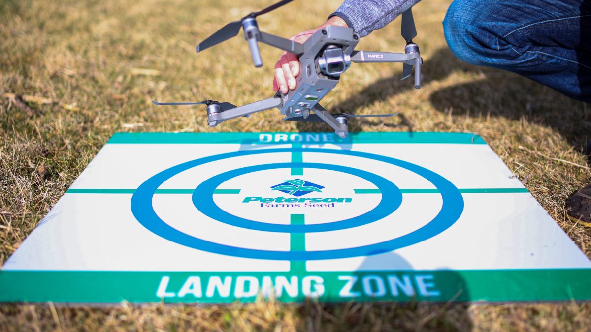
Drone technology has come a long way in the last few years. When we started working with drones in 2014, we were mounting small GoPro cameras to the bottom and hoping it took relevant photos. At the time, the only capability was taking photos from a new perspective, but eventually we got the technology to “stitch” images together and get a very high-quality map of a field. That was a turning point, as drones became more of a tool than a toy.
 Soon after this, the drone companies began using their own integrated camera systems and drones became much more reliable. Once they were able to operate with drone mapping software, the focus shifted to interpreting the data and coming up with valuable, actionable ways to use it.
So, what can you do with a drone today? I’ll break it down into three categories; aerial pictures and video, mapping, and stand counts.
The easiest and most common way we use drones today is to capture aerial pictures and video manually. This is a farmer or a consultant pulling a drone out of their backseat and putting it in the air to get an aerial point of view of the field. This is a great resource to find thin stands, water problems, weeds, nutrient deficiency and more.
Mapping a field with a drone is a little different type of operation. When mapping, we program a flight pattern over a field through software running on our phone or tablet. When we have the flight pattern how we want it and initiate the mission, the drone will take off and fly a back-and–forth pattern across the field all by itself. While flying, the drone takes pictures every second or so to later be processed and “stitched” together into one high resolution map of the entire field.
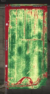
NDVI Map
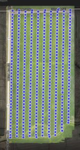
Photo Dots
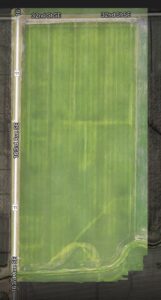
Color Map
These maps can be used to find problem areas, determine greenness of areas of the field, and be used as another layer in our operation to create variable rate prescriptions.
Lastly, drones have become a better tool to calculate stand count on a field with much more accuracy than our traditional methods. The traditional method would be an agronomist taking 10-15 stand counts at various locations of the field. These counts only represent about 1/1000th of an acre or 30-40 plants per count.
In the last few years, advancements in drone technology have increased the ability to count more plants and expanded the coverage area when getting stand counts in a field. The software can program the drone to fly in a grid pattern that covers the entire field. The drone can take a single photo of every acre, similar to grid soil sampling. The difference is that there is an equivalent of around 20 stand counts in each picture.
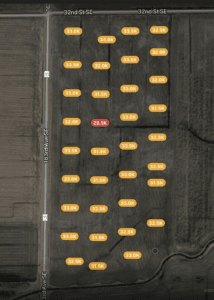 Use a 100-acre field as an example. If 15 traditional stand counts are taken in the field, only a small portion is covered. On the other hand, if the drone takes a picture every acre, that is 100 pictures with about 20 stand counts in each! In comparison, that’s 15 counts compared to around 2,000 stand counts. That’s around 130 times the amount of data!
Another benefit of using a drone for stand counts is that each image is georeferenced, so it shows exactly where the photo was taken in the field. Then the data can be mapped on the field just like a yield map. This data is available as soon as the drone lands, allowing confirmation of the results in the field and the opportunity to immediately inspect potential problem areas. The software also delivers the data in a report that shows the map, along with high, low, and average stand counts throughout the field.
With this technology, agronomists can be more efficient with their time and deliver higher- quality information to our growers.
If you have any questions on the ever-evolving field of drone technology, feel free to contact me!

