My Summer Flying UAVs
UAVs, variable rate, NDVI, image stitching…it seems like everyone is talking about precision agriculture. But are these tools here to stay? Do they provide value for farmers? And more importantly, could they bring value to your operation?
As the Precision Systems Specialist for Peterson Farms Seed, I was given the daunting task of figuring out how, when, and where to use unmanned aerial vehicles (UAVs) to collect data. Over this past summer, we’ve been experimenting with their use, and I’m happy to share our experience and observations.
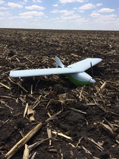
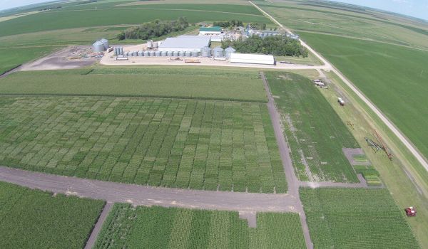
We began the summer using a fixed wing-type UAV. These look like traditional RC planes, but have the capability to fly completely autonomously from takeoff to landing. A significant benefit to using a fixed wing-type UAV is the long battery life (up to one hour), which directly correlates to more acres per flight. These UAVs fly in a grid style, taking many still pictures that are later “stitched together” to create a very detailed Google Earth-like map of a field. This type of mapping is essential to creating tools like in-season sidedressing maps and preseason variable rate planting and fertilizer maps.
The trouble with these high resolution field maps is the file size. The size makes the maps difficult to share with others and is too large to be imported into the GIS (Geographic Information Systems) software used to create prescription maps. Also, the image-stitching process to create a field map can be time-consuming and may not always work correctly, as image quality is dependent upon flight conditions. I expect software development to catch up to the picture-taking capabilities now in place – that is when we’ll derive real value from these technologies.
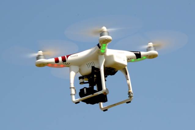
I also experimented with the multi-rotor type UAV. These are very appealing because they provide instant feedback of the field. The largest limiting factor is the smaller battery life, due to the increased number of operating motors and lack of lift and aerodynamics of the body, compared to the fixed wing UAV. Multi-rotor UAVs can be set up with a live feed screen right in your hands to view exactly what the camera is capturing, allowing you to make decisions while the UAV is still in flight. The images can also be stitched together, but are limited because you can only cover a very small area due to battery life restrictions. We have found that multi-rotor UAVs are a great tool for general field scouting, but are too limited as a mapping tool.
It’s an exciting time for precision agriculture as new technologies become available. Precision ag technology is developing very quickly and will have a positive impact on farmers today.
In the near future, I believe the clumsiness of processing images in order to apply data to prescription maps will become streamlined, allowing their practical use. The sensors currently in development will be able to spot areas of the field that are stressed due to a multitude of reasons – nitrogen deficiency, insect pressure, drift damage, water stress, and many more.
I look forward to continuing my research on the uses and benefits of this new technology, and am very excited to help our growers become more efficient at what they do best. Stay tuned!
