The Drone: Separating Myths from Reality
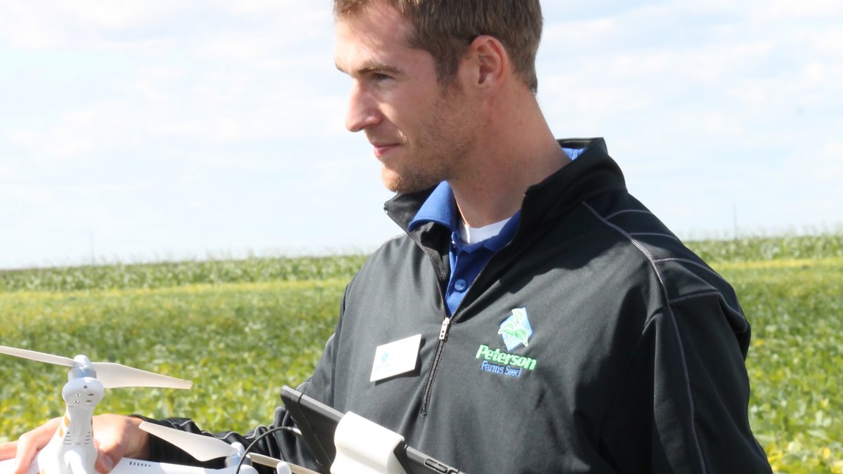
When working with drone technology, I hear a lot of great questions from growers about drone capabilities. Using a few of the most common questions, we can see the plane and scope of where drone technology is today (reality) and where it may going in the future, even if it’s not possible quite yet (myth).
Realities
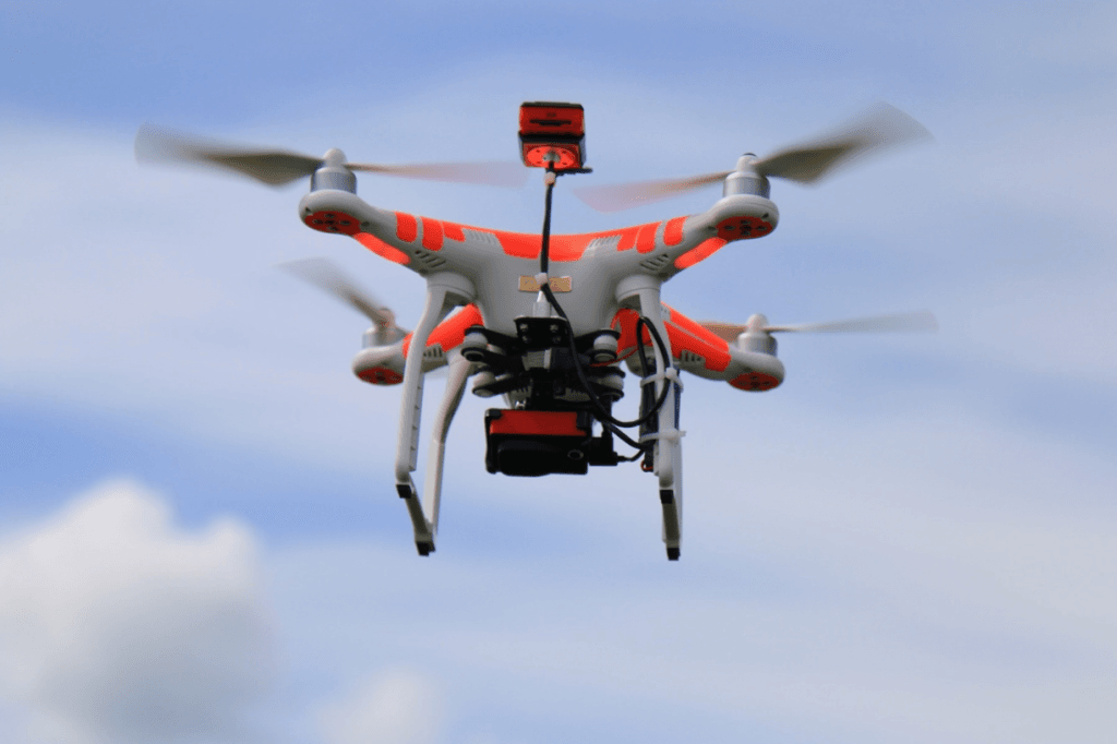
Drones are much more reliable than even two years ago and now feature built-in redundancies. If a system fails, there is a backup such as multiple GPS sources, multiple controller frequencies, and even multiple batteries on some of the newer drones.
Today’s drones are easily capable of flying missions completely by themselves with an operator merely standing by ensuring a smooth flight. This means the drone can map an entire field (see below) without the operator ever touching the controls, freeing up hands and precious time.
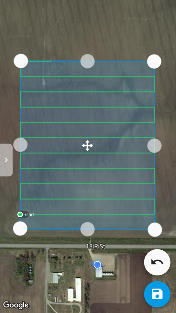
A field map can be created with a standard color camera. From those camera images, the drone and the software can stitch together maps that resemble Google Earth. But, with these powerful cameras, the user can zoom to an individual plant level. These color maps are helpful for showing obvious differences in the field like stand loss, water stress, weed patches, and sometimes fertility stress.
Currently, there are also a few multispectral cameras available that are specific to agriculture. Multispectral cameras have the ability to pull apart different light types being reflected off the crops to create maps. These cameras use the combinations and formulas of different types of light to create multiple maps that can help the grower view numerous stresses in the field. For example, one map’s purpose is to see nitrogen stress where another map’s equation might help the farmer see pigweed in his soybean field.
Myths
The list of what drones ‘can’ do is continually growing. And yes, drones can do amazing things. But, I warn farmers to ‘trust but verify’ when they hear about a new drone feature that seems too good to be true.
Many people believe drones are an end-all solution to their operation, when, in actuality, drones just provide more information to help the grower make better decisions. At this point, drones are not automated enough to make any decisions for us, such as telling us how much nitrogen is in a crop or what to spray in each location. The data and images we get from a drone are simply tools in our toolbox, not the sole source for decision making.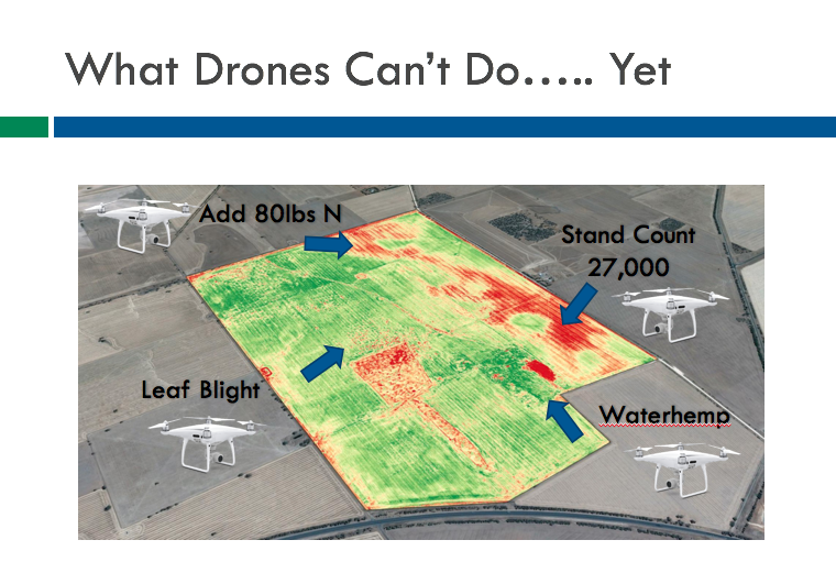
Also, at this point, I do not believe that drone maps should be used to directly create a variable rate prescription. Without additional information and an agronomist to help fine tune what the drone is seeing, there are some things that a drone cannot see and variables that must be considered before making any decisions.
The computer intelligence that is being applied to drone maps is moving forward at a quick pace. There are a few popular topics that I get asked about often such as weed identification, nitrogen content, and stand count just to name a few.
These processing technologies are being heavily researched and will be available in the near future, with some getting close to a usable version. With that being said, I would be wary when applying new computer intelligence tech to large-scale agriculture today.
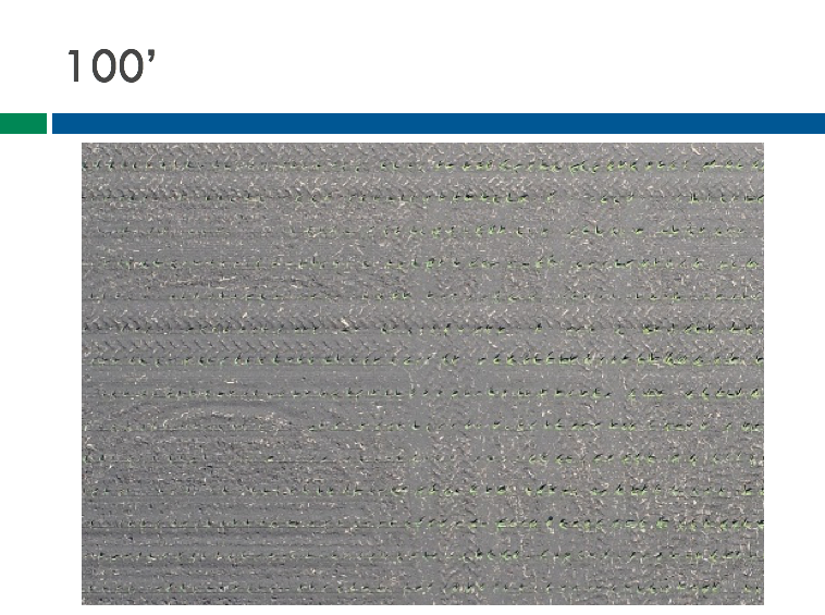
A drone would need to fly at 100 feet (which makes for a long flight and huge file sizes) to get an accurate stand count map.
Stand count, for example, is difficult to complete accurately on a large field. To get the resolution needed to count plants when there is little time to make a decision about replant, a drone would need to fly at a height of around 100 feet. With today’s mapping software, it would take around five to six hours to map 100 acres with a huge file size to go with it.
Today, drones are very good at seeing differences in a grower’s field but not good at telling us specifically what those differences are without an agronomist’s trained eye. The technology is advancing rapidly, so I do see these things becoming a possibility in the future. Between the advanced pace and the possibility of the myths shifting to realities, it will be an exciting few years in precision agriculture!

