Massive Strides in Drone Technology Prove it to be an Everyday Tool
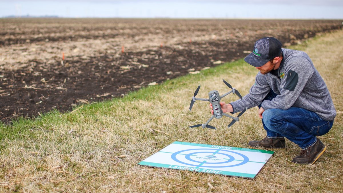
At Peterson Farms Seed, we have been testing and using drones and drone software since 2014. So, what has changed in eight years? Improvements in three main areas have turned the drone into an everyday tool for crop scouting.
Battery Life
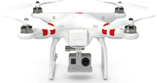
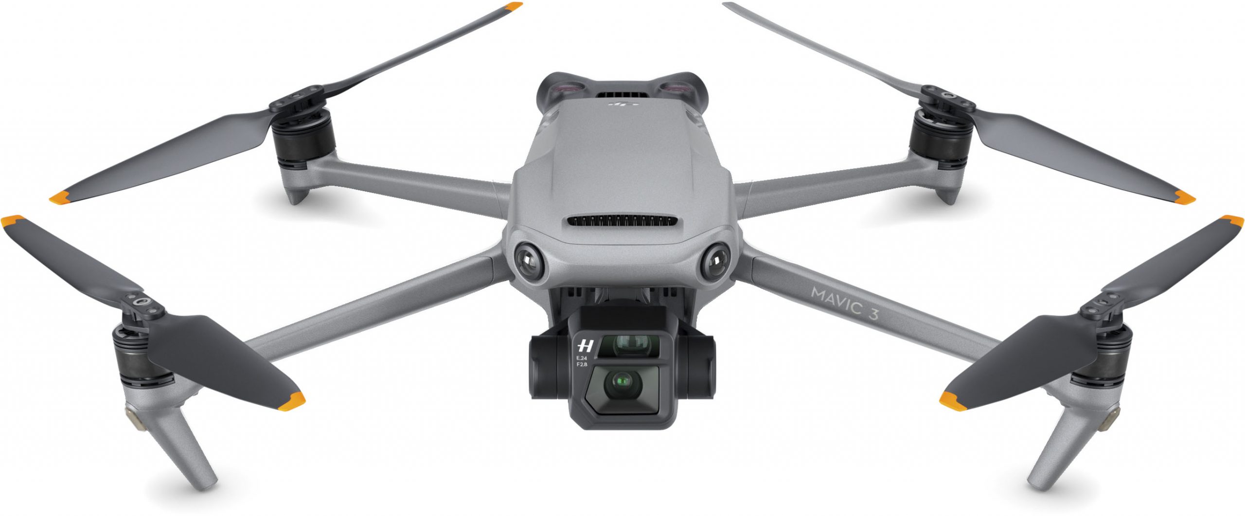
The original DJI Phantom (left) had a battery life of about 10-12 minutes, while the brand new DJI Mavic 3 (right) triples that with a flight time of 40-45 minutes! This increased power has pushed the envelope on acres we can cover, both with manual scouting and automated mapping flights. The drone itself has become much more reliable so we can count on it rather than spend time fixing it.
Camera System
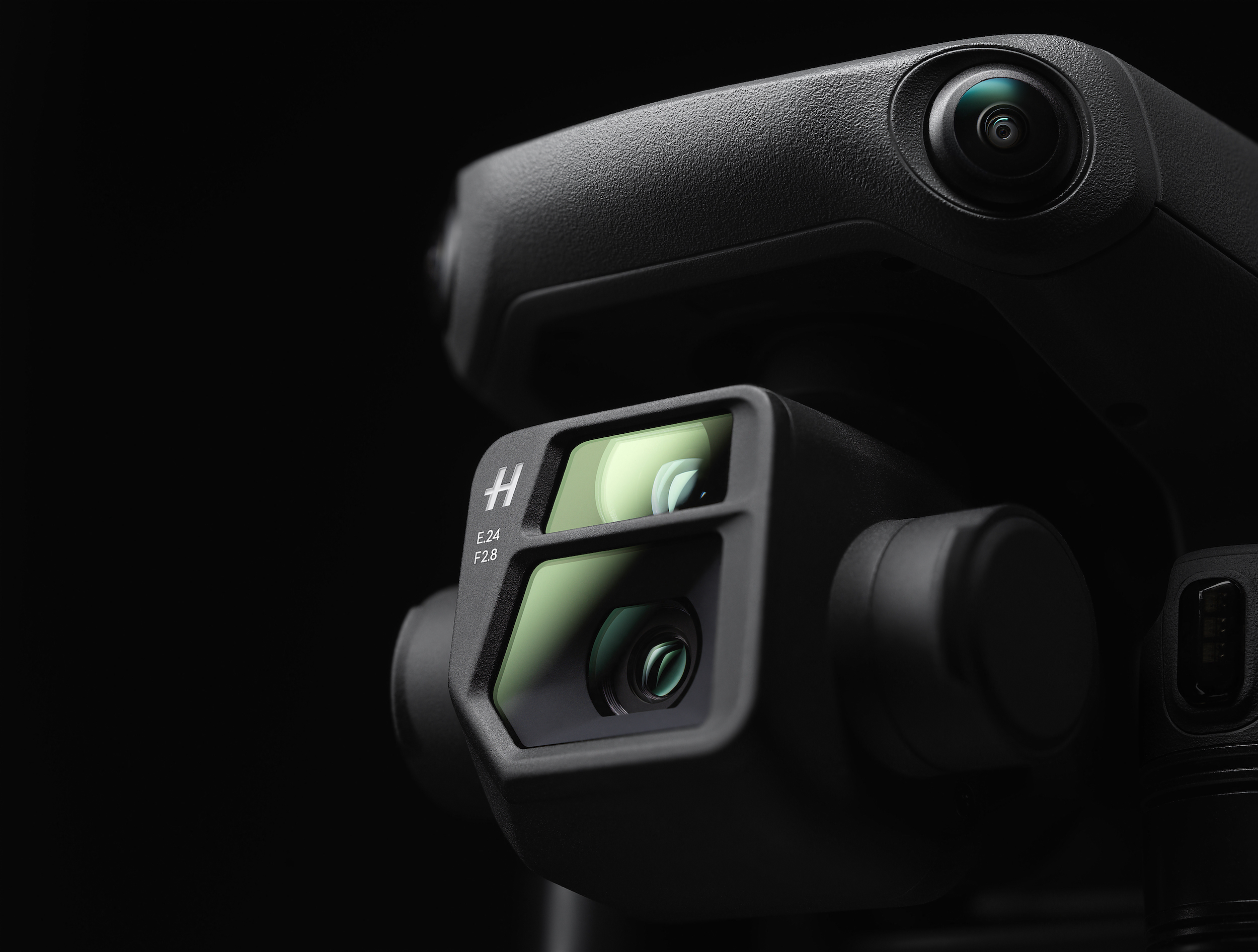
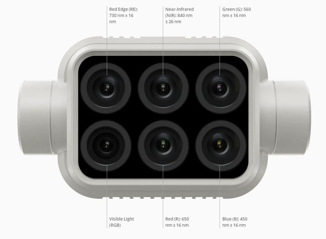
The cameras have evolved significantly! Initially, the camera wasn’t even integrated with the drone software but instead was a stand-alone GoPro mounted to the bottom. Today we have a high-resolution integrated camera with zooming capabilities. Multi-spectral and hyper-spectral cameras are now available, allowing us to see various crop stresses. Today the cameras can only tell us where the plants are “good” and “bad.” But soon, they will be able to show what specific “stressor” is in the field.
Finally, now that the drones and camera systems are so reliable, the focus has shifted to the software and analytics. These improvements provide the most significant impact to ag as this is where we can act on the insights we gain from the drone imagery.
Flying Low
One of the biggest advancements in the last couple of years is a different approach of flying the drone low (40-50’) and capturing one image every acre. These low, high-resolution images allow computer software to perform exciting analytics that we have never seen before!
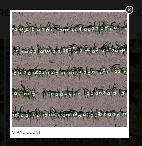
Using this technique at early emergence, we can get highly accurate stand counts over an entire field with detailed reports. Traditionally when taking a stand count measurement, an agronomist must walk 30-35’ down the row and manually count how many plants have emerged. When using a drone, the flight software will automatically fly the drone in a grid over the field and take a single picture every acre. There is an equivalent of about 20 traditional stand count measurements within each image, with the result being about 3,200 stand count measurements on a 160-acre field!
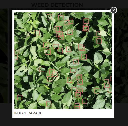
Performing low altitude flights later in-season also provides some interesting emerging analytics. These reports are still very new and range from weed detection and ID, nutrient deficiencies, disease pressure, and even insect damage. These analytics seem promising but will need a little more testing before widespread use.
Drone technology has come a long way over the last eight years, and I am excited for the next step in data analytics.
If you have any questions on the ever-evolving field of drone technology, feel free to contact me!

